2009 – Six day walk celebrating our 41st anniversary
What began as a notion became an obsession. Walking one kilometre for every year of marriage seemed a fun and fanciful way of celebrating yet another anniversary until we applied the maths.
Having achieved enormous challenges before by tackling them bit by bit, we may have shaken our heads, but then just got on with the task.
First came the logistics. Where could we walk forty-one kilometres? Jude and I have tramped through forests and along rivers before. In fact, ten years ago it was a regular event. So we pulled out our topographical maps and sat down to plan our adventure.
Hmm, the ones with thick rain-forest we put aside. Far too arduous for our sagging tummies. We needed something with open forests and not too many hills. Wracking our poor old grey heads, we finally came up with just the right spot. Yep, a place we’d been before, where at this time of year wildflowers would distract our minds from the pain of carrying so much food and gear.
Out west of Grafton runs the Timbarra River, locally known as the Rocky River, that may give a hint to its nature. Its source comes from the loftiest mountains of the Gibraltar Ranges. Tall by Australian standard, surpassing a thousand metres whose headwaters we can reach from a major highway, and this suited our aim.
Next problem, how long would walking forty-one kilometres take? Perusing the map, we noted we’d be going down from over a thousand metres to just four hundred. Going downhill might sound the easy bit, but with aging knees carrying heavy loads, we’d have to take it slow, or they’d be winching us out by helicopter.
The reason being we didn’t plan on walking a track. The Timbarra runs through untouched world heritage forests, and although there is a fire track that we’ve been on before, it’s boring. The genuine beauty lies off the beaten path. In the many creeks that feed Rocky River.
Our selected route would take us down one of those feeder creeks, poetically named Pheasant Creek, and then back up along another, rather stylishly called Ruby Creek. Wondering what we’d find there, we plotted its rapid rise and realised we’d be climbing a near vertical wall back to our transport. Hmm, the first tendrils of doubt started seeping into our aging grey matter. But hey, you only live once, so let’s give it a go. We could always turn back. Or so we thought.
Jude’s a whiz at catering an outback wander. She’s been doing just this for years and had us ready Monday morning, 9AM sharp. Me? I cleaned and packed all our trekking gear, paying particular attention to the important stuff like vino, nuts and chocolate.
Then, telling our sons we’d be back in a week, we drove off. They know if we’re not back, come and get us because we’re either hurt or just plain lost.
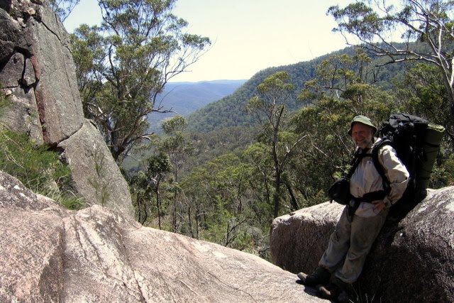
That’s enough words. Let the pictures tell the rest of the story.
View anniversary 2009 walk in a larger map You can scroll in or out on the larger map – and change to satellite images.
 |
 |
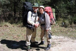 |
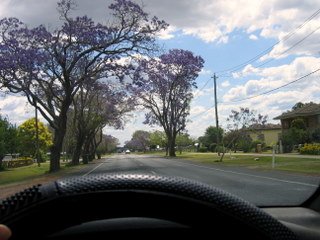
| Jacaranda at Grafton | Car camp at Boundary Falls | Packed up, 20kg on our backs |
 |
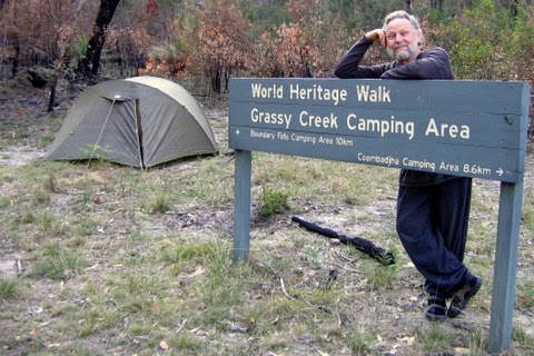 |
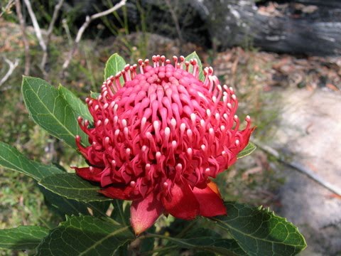
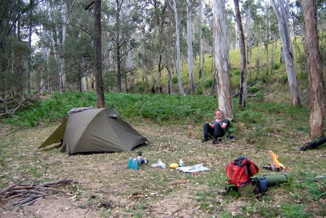
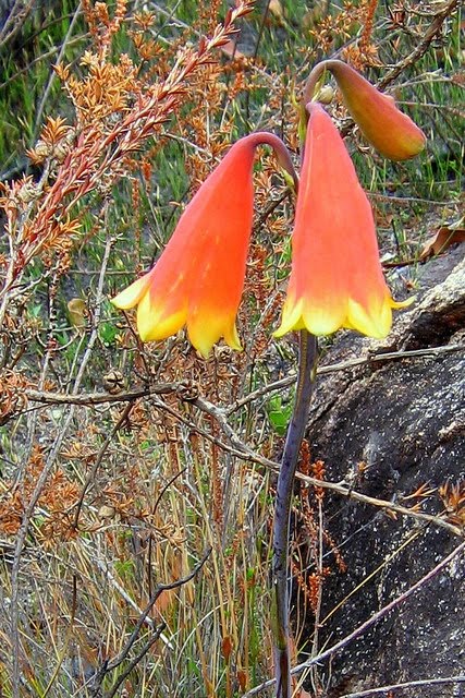
| Waratah – Floral Emblem of New South Wales | Grassy Creek Camp 1st night |
 |
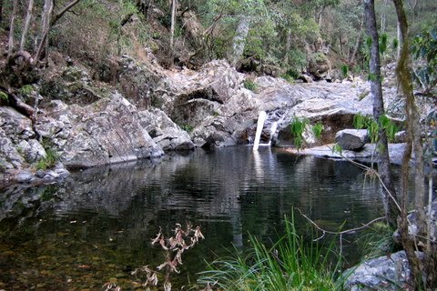 |
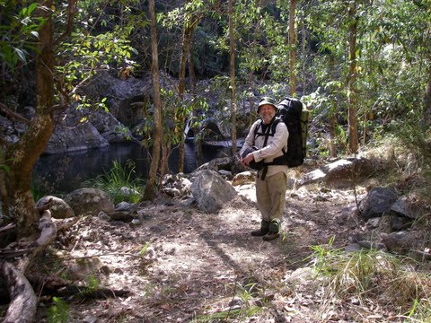
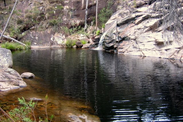
| Campsite Pheasant Creek 2nd night | Private swimming pool alongside camp |
 |
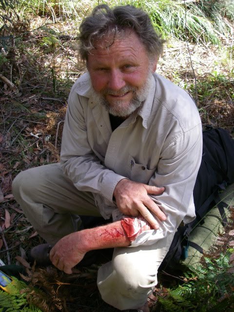 |
| Pheasant Creek 3rd day | Scrub cuts |
 |
 |
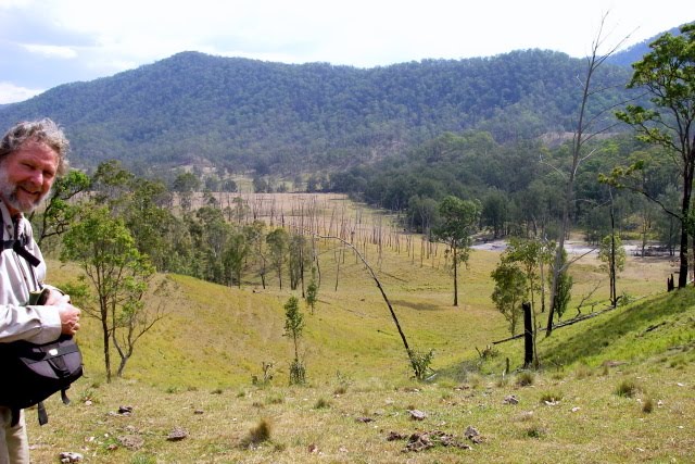
| grassy plains -cow country | Camp on the flats – poor water |
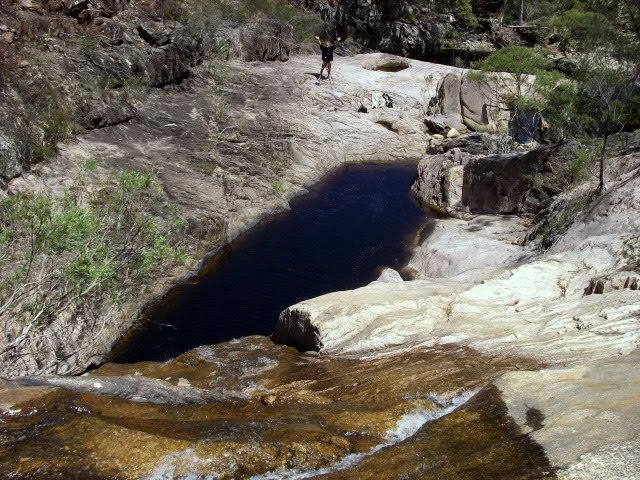
 |
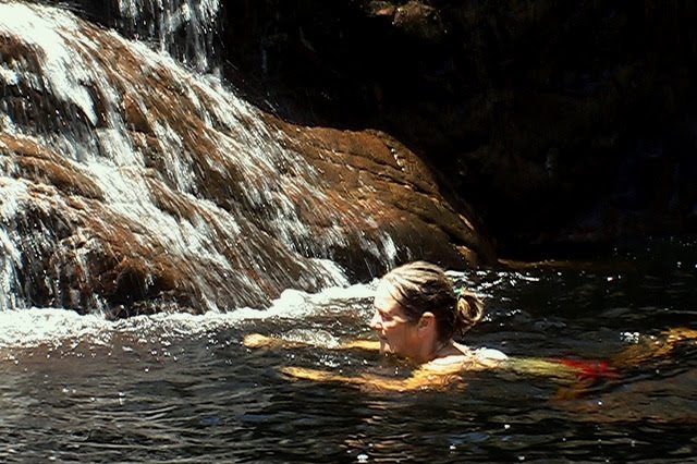
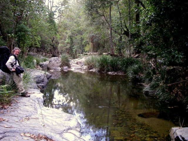
| The day was hot & the pool lovely cool |
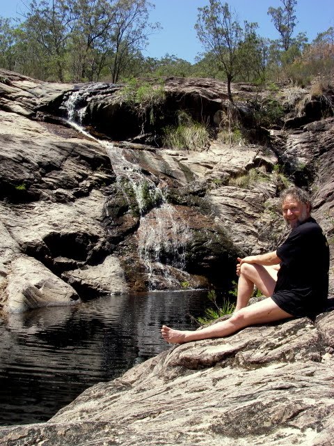
 |
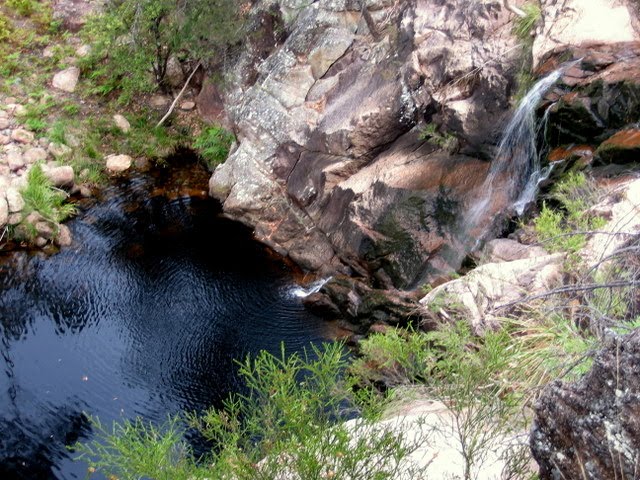 |
| To yet another pool | So we had to have another swim |
 |
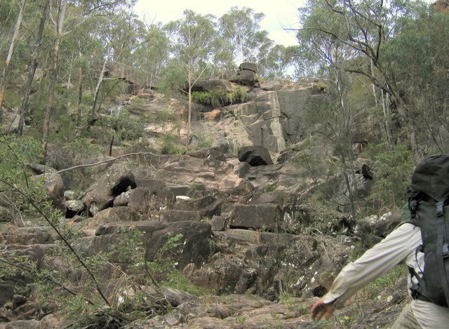
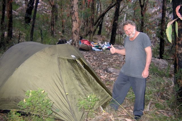 |
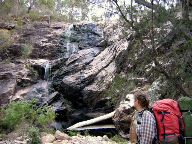
| After climbing 400 m – it looked like the top | But it wasn’t, so a camp was dug out of the hillside |
 |
 |
 |