Google has done it again! Google Maps, that AI demon sent us down tracks that led nowhere!
There we were on a dirt track in the middle of nowhere, trying to reach an isolated location to celebrate our amazing fifty-eight years of marriage, when, after passing through yet another farmer’s gate, we found ourselves boxed in by grassy empty hills. Huh?
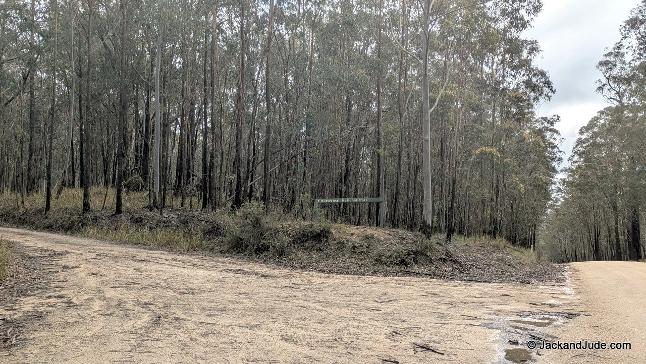
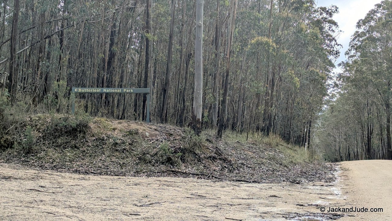
Scratching our heads, we drove back out the twenty kilometres we had come in. And now running short on daylight, we raced down the highway, through the regional centre of Glen Innes, before streaking out the other side to the route NSW National Parks recommends to Butterleaf National Park.
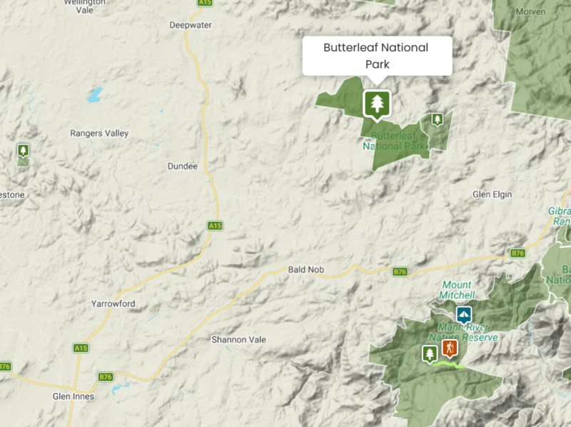
The Butterleaf National Park in NSW is what’s known as a remote location park:
No tables – No toilets – In fact, no facilities at all!
Butterleaf sounded a perfect spot to celebrate our special event, alone, isolated, surrounded by Nature.
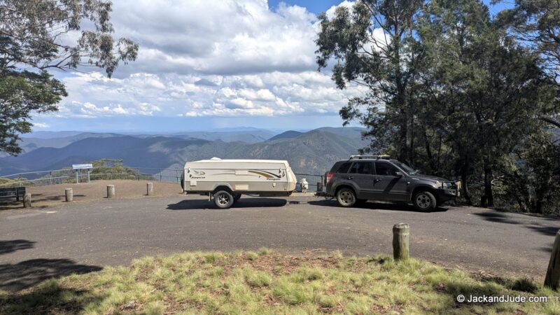
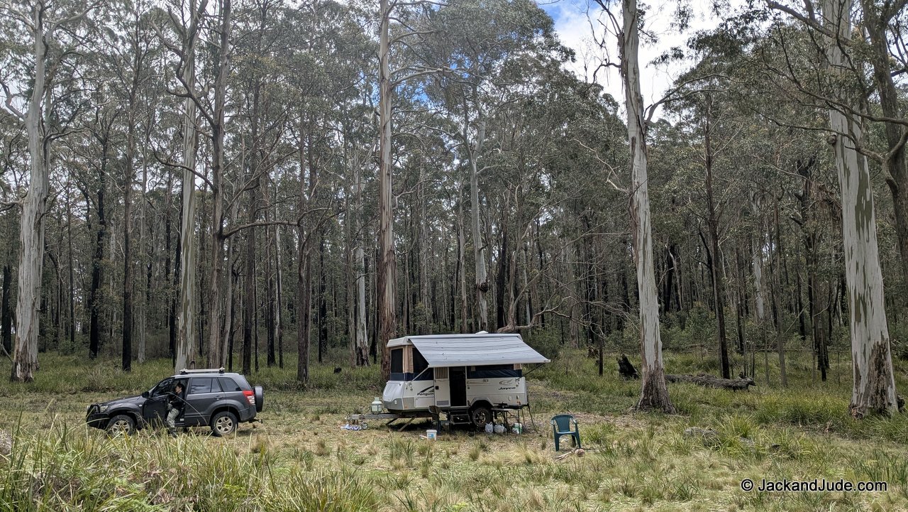
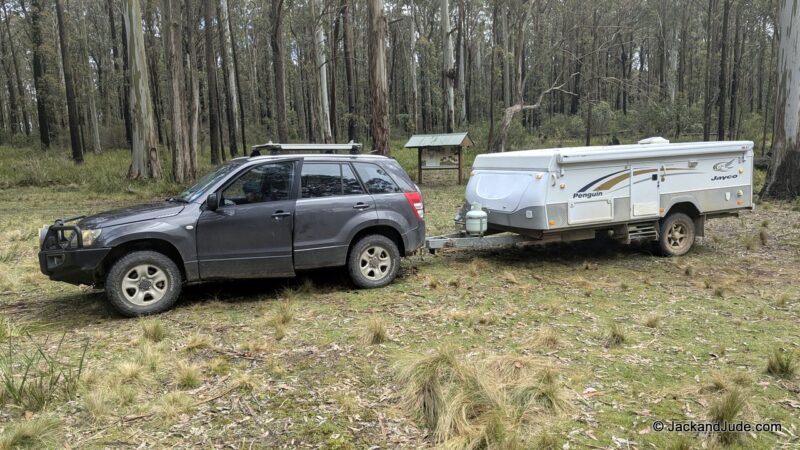
We were towing our Jayco Penguin pop-up camper, which is actually bigger than the towing vehicle: wider, longer, heavier. Navigating tiny roads that proved demanding for a novice like me, and even engaging the clutch to get that mass moving required a knack I had yet to master. But that’s okay. We have never been shy about trying something new. As the saying goes: practice makes perfect. Or so I thought until we found the final run to the park entrance went straight up a hillside, requiring low-range four-wheel drive. A six-kilometre battle, towing the Penguin with nowhere to turn around.
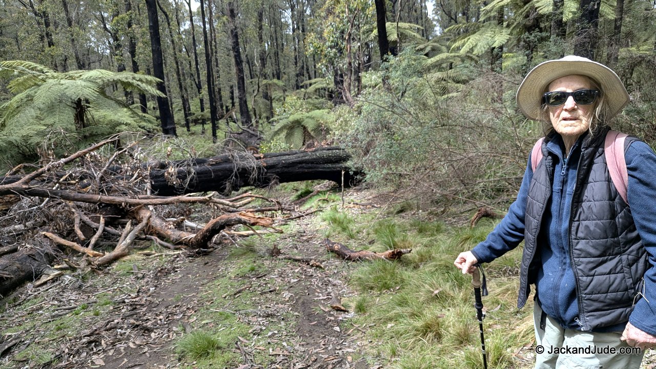
Halfway up, a fallen tree blocked the path!
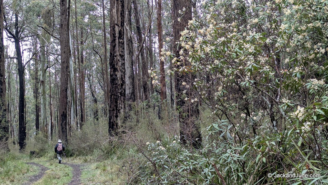
Yes, we carry a chainsaw. We always do when off-track. It’s a little saw, but it cut a section free that we manhandled aside. A little further on, we entered an area filled with ginormous trees. They reached towards the heavens with sunlight streaming through their trunks in a spiritual mantle. This enhanced the peaceful ambience we felt upon entering a flat open area that served as Butterleaf’s carpark.
We pulled in, switched off the engine, and the silence was immediate. There was no traffic noise, just quiet natural sounds—and no other visitors, just us.
Butterleaf National Park was created in 1999
to protect nearly 4000 ha of forest
that provides a home to rare wildlife.
The park includes the crest of the Great Dividing Range, which marks a change in the area’s geology from east to west. Butterleaf supports many forest communities as well as the heaths and swamps of rocky outcrops.
Their old-growth forests have immense trees with hollows that are homes for yellow-bellied and greater gliders as well as powerful owls. Spotted-tailed quolls use hollow logs on the ground, while a small isolated population of common wombats also lives in the area.
Our Jayco Penguin
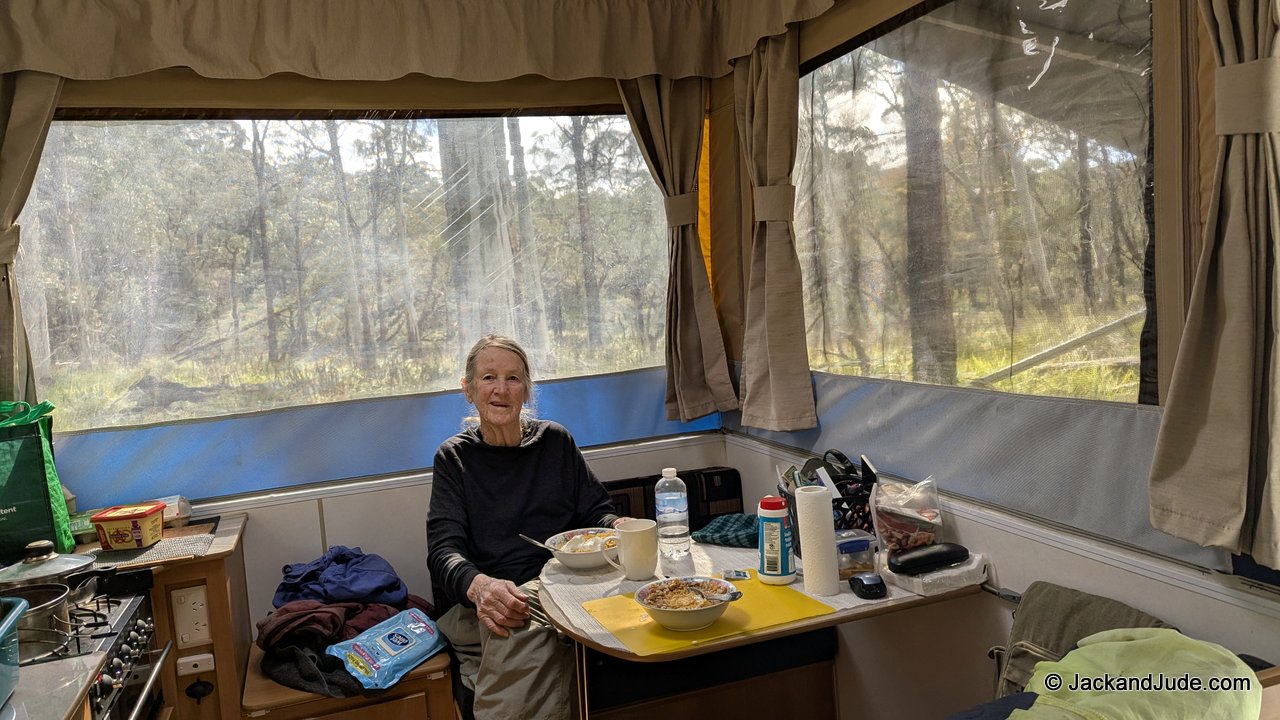
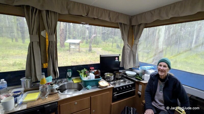
Dee-Dee (short for Judith’s mother’s maiden name) unpacks into a very comfortable home away from home. Jayco’s Penguin model does NOT have beds that must be pushed out. Everything is contained within the hull: double bed, dining table, four-burner stove with a grill. She carries 90 litres of fresh water and has a basic dunny. What impressed us the most when we purchased it was the 360-degree views from inside.
We slept solidly on that beautiful double mattress, and upon waking, we lazed about in a cuddle to celebrate our good fortune to still be together after an amazingly challenging fifty-eight years. We were travellers when we met, and have continued to explore Earth one way or another since getting together. Our honeymoon was a road trip overland from England to South Africa, a year that taught us much about Earth, VW vans, and about life. After Judith gave birth to a pair of ragamuffin kids, the four of us took up sailing, educating the boys on board Banyandah while sailing the world. That fabulous episode lasted all the way to high school. In our mature years, Judith and I took up wilderness trekking. That was grand for a few decades until one night, when getting up from our two-person pup tent, I ruptured my right shoulder muscle. Hmm, age perhaps. So we bought Dee-Dee, and we’re presently on our second shakedown journey.
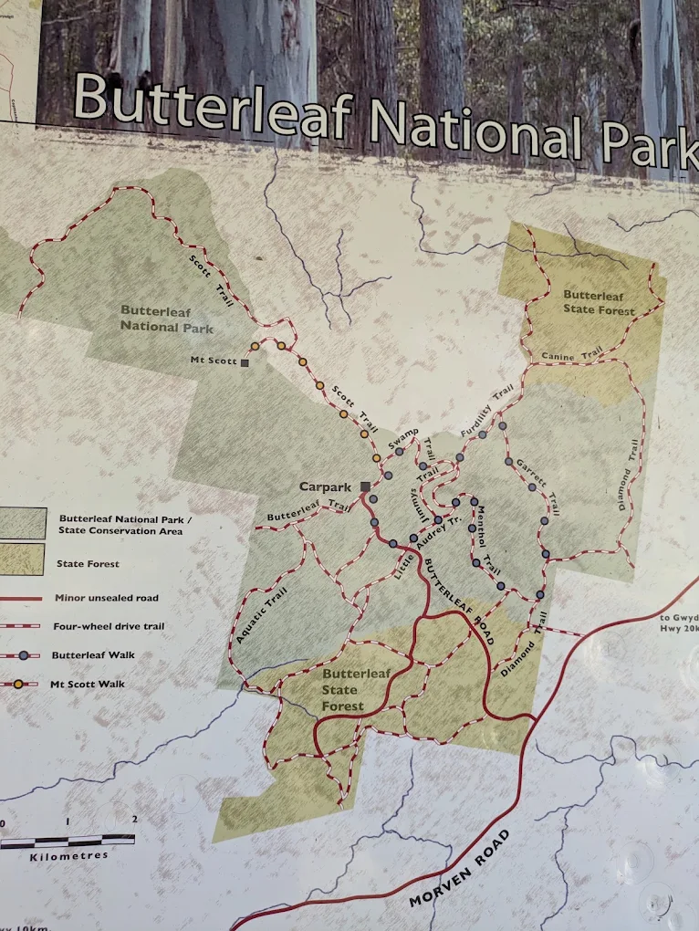
Butterleaf has an array of 4WD tracks that radiate out from the carpark area. That second day, as the weather deteriorated, we set off to walk further along for a kilometre or so until coming to two tracks. One went up to Mount Scott, and the other went through wet valleys hemmed in by forested ridges. We walked a little way along each. The tracks were solid, not mushy—the Suzuki would easily travel on them.
We like to get away for our anniversary even if the weather forecast looks poor, as it did this time. We’d hoped the showery weather would not reach so far inland, but by mid-afternoon that second day, we were under thick clouds with passing showers. Being at the top of the Dividing Range, we also became cloud-bound. Around us, trees ghosted in and out of the mist as though they were moving towards us, eerily closing in.
We ate a celebratory anniversary dinner that night, albeit without a cheery campfire. Too much rain to start one. The next day, the rain settled in. Larger falls, fewer patches of sunlight. The third day of rain was the worst, and we started worrying about becoming stuck there, out of touch with no phone signal. I began wondering what might happen if another tree, a bigger one, came down across that narrow entry track.
A pattern developed.
After three days of solid rain, sunrise brought blazing sunshine that lasted until around noon when clouds began to drift overhead. By mid-afternoon, showers began again. They fell heavily at night. So we started taking morning walks around a few of the many circuits, aiming to be back for lunch. After a few days, we got lazy and started driving the Suzuki along each of the tracks.
These aren’t tourist tracks—each has its own character. They’re quiet, high-country forest routes through some of the best wet-sclerophyll and cool-temperate forest on the New England Tableland.
The Fern Track drops off the ridge into the deep gullies that cut through the park. On our topo map, these appear as tight contour lines with narrow creek lines—our cue for steep terrain and a moderate to hard walk. This is the “secret forest” walk—cool, green, and enclosed. We felt the altitude here: the air was colder, the light softer, and the forest older.
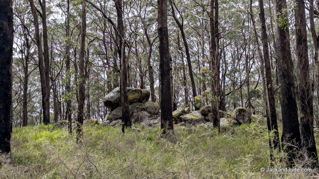
We saw heaps of tree ferns with fronds arching overhead, and lots of mossy boulders and fallen logs. Beneath the tree ferns grew soft ferns and vines, surrounded by damp leaf litter.
The Ridge Top Circuit to Mount Scott follows an old forestry trail along the high ridge, populated with tall gums, an open understory, and long lines of sight through the trees. We saw tall ribbon gums with their dramatic shedding bark, and straight-growing messmates with rough, fibrous trunks. The forest floor was covered in leaf litter and scattered granite. Occasional views into deep gullies filtered through the trees on either side. That’s where we heard the lovely sounds of high-country birds calling from below: yellow robins, currawongs, and lyrebirds.
This is the “big forest” walk—tall, quiet, and spacious. We felt like we were walking on the roof of the planet.