Jack and Jude will be adding plenty of anchorages for Queensland later down the track.
Until then, Jon and Sue on the catamaran SY Ocelot have kindly supplied their anchorages from a voyage they made north up the coast en-route for the 2006 Darwin – Indonesia race.
Disclaimer: While we always try to provide useful information, we can take no responsibility for its accuracy or usefulness. Prudent mariners will always navigate using all means at their disposal, and will not rely on electronic navigation.
See Ocelot’s Australia Tracks in a larger map
We remember sailing along the Australia coast fondly – it was some of the best sailing we’ve ever done. We sort of flew up the Queensland coast as we were feeling late to get to Darwin in time for the 2006 Darwin-Indonesia Rally.
So we sailed 1,370 nautical miles from Brisbane to Seisia (on the west side of the York Peninsula) in only 28 sailing days, for an average of just under 50nm/day. Luckily, once we got to the Percy Isles, the SE trades started blowing with a vengeance, so it wasn’t hard to clock up some impressive daily runs, as we only did 2 overnight sails in all that distance.
The table below lists all 32 anchorages we visited on our way from Brisbane to Darwin.
Depths are in feet, distances are in nautical miles, latitudes are all south, and longitudes are all east. As always, if you have questions or comments, please contact us – we’d love to hear from you!
To see details and in-depth comments of the anchorage links go to:
http://www.svocelot.com/Cruise_Info/Pacific/Cruising_Australia.htm
| Date 2006 |
Anchorage | Depth | Dist nm |
South Latitude |
East Longitude |
Comments | Photo |
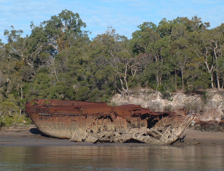
| 15 May | Tangalooma Wrecks | 20′ sand | 28 | 27º09.7 | 153º22.1 | Interesting but a bit of surge | Photo |
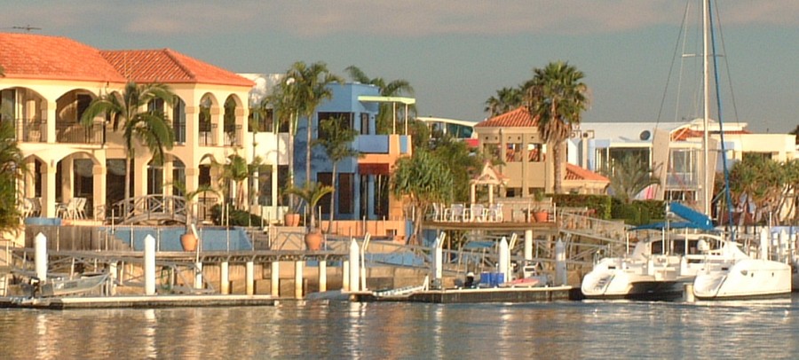
| 16 May | Mooloolaba | 10′ mud | 35 | 26º40.6 | 153º08.4 | Protected but can be crowded | Photo |
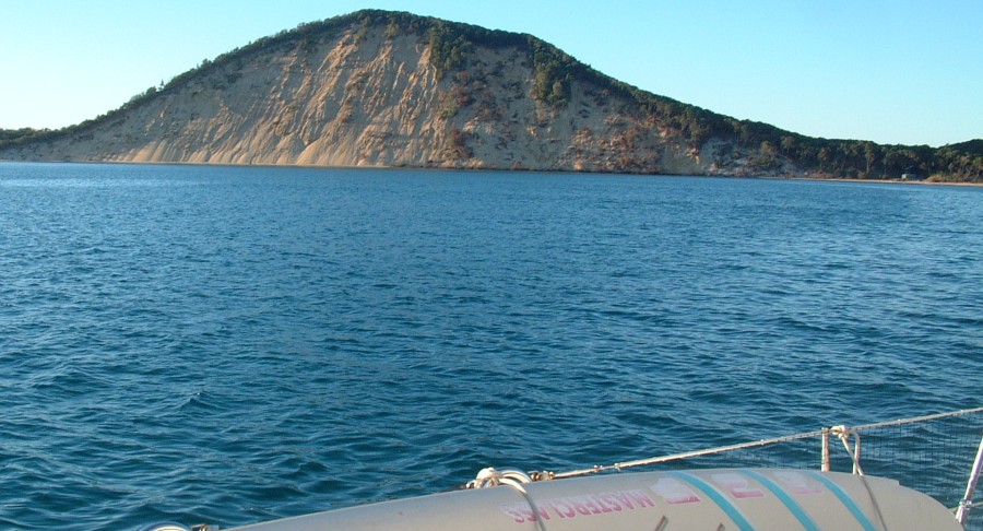
| 24 May | Double Island Pt. | 15′ poor | 57 | 25º56.5 | 153º10.1 | Rock in entrance from south | Photo |
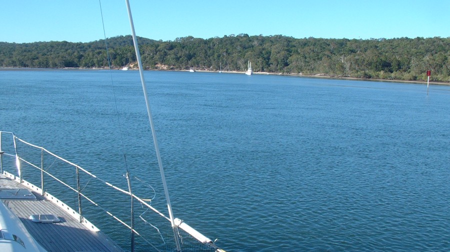
| 25 May | Gary’s Anchorage | 13′ mud | 26 | 25º37.8 | 152º58.4 | Inside Fraser Island | Photo |
| 27 May | South White Cliffs | 30′ | 10 | 25º31.5 | 152º58.2 | Creep up shallow channel | Photo |
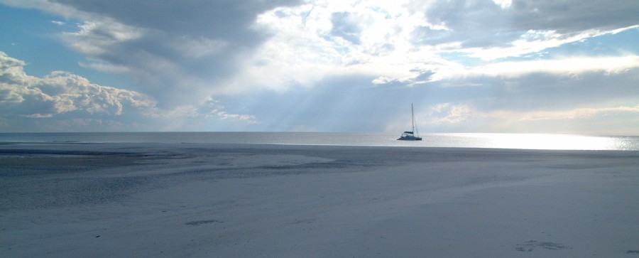
| 28 May | Moon Point | 15′ sand | 23 | 25º10.6 | 153º01.6 | Beautiful long beach | Photo |
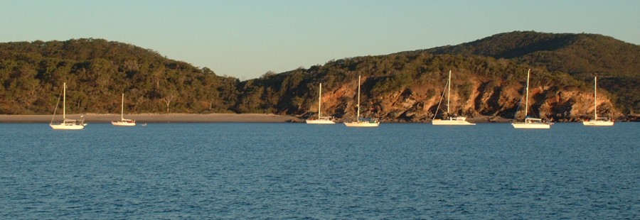
| 30 May | Great Keppel Island | 10′ sand | 150 | 23º09.7 | 150º57.3 | Very pretty | Photo |
| 1 June | Port Clinton | 25′ sand | 44 | 22º32.9 | 150º45.5 | Under Mt. Flinders | Photo |
| 2 June | Island Head Creek | 15′ mud | 20 | 22º21.6 | 150º38.6 | Several anchorages shoal quickly | Photo |
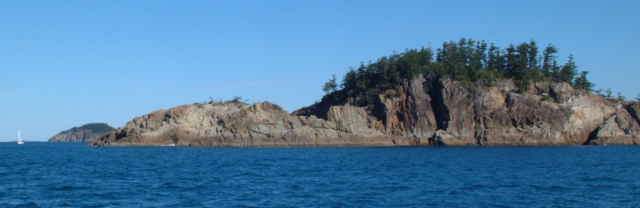
| 3 June | NE Percy Island | 35′ | 51 | 21º39.2 | 150º20.1 | Delightful anchorage | Photo |
| 4 June | Scawfell Island | 30′ | 66 | 20º51.8 | 149º35.6 | Very pretty | Photo |
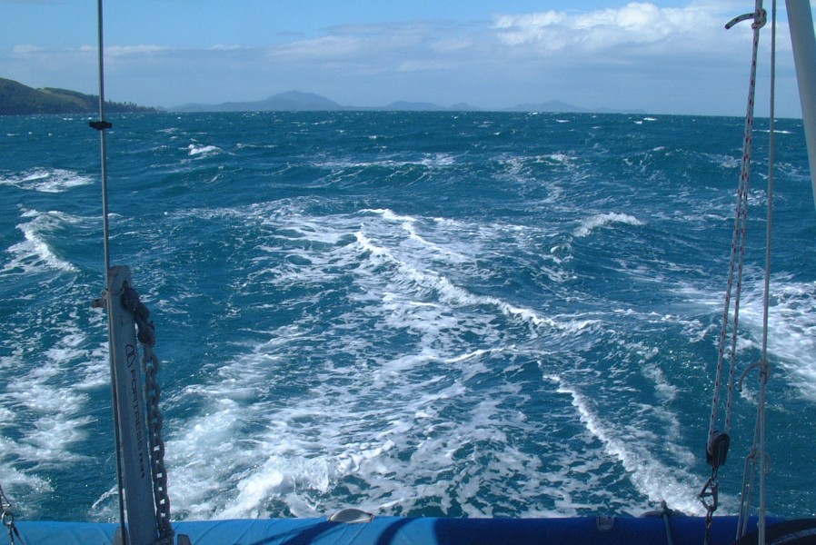
| 5 June | Thomas Island | 27′ | 35 | 20º32.5 | 149º06.5 | Great sailing winds | Photo |
| 6 June | Airlie Beach | mooring | 30 | 20º15.5 | 148.42.4 | Pick up friend’s mooring | Photo |
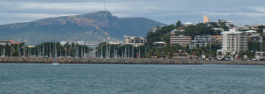
| 10 June | Townsville | 15′ mud | 130 | 19º14.6 | 146º49.6 | Marinas also available | Photo |
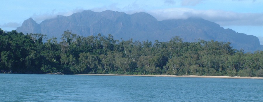
| 12 June | Hinchinbrook Island | 20′ | 72 | 18º14.0 | 146º15.0 | Shepherd Bay on north side | Photo |
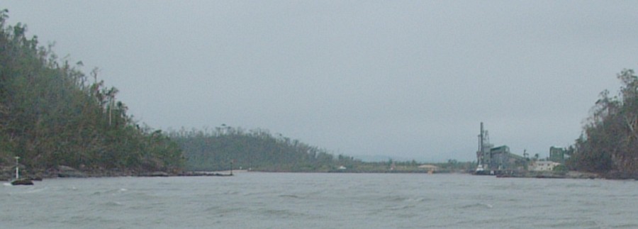
| 13 June | Mourilyan Harbor | 25′ mud | 41 | 17º36.4 | 146º07.5 | Up Moresby River | Photo |
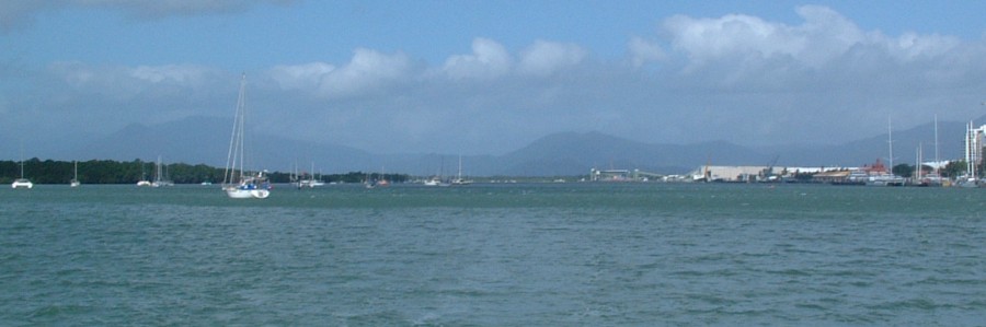
| 14 June | Cairns | 27′ mud | 58 | 16º55.2 | 145º47.1 | Tidal, crowded, not too secure | Photo |
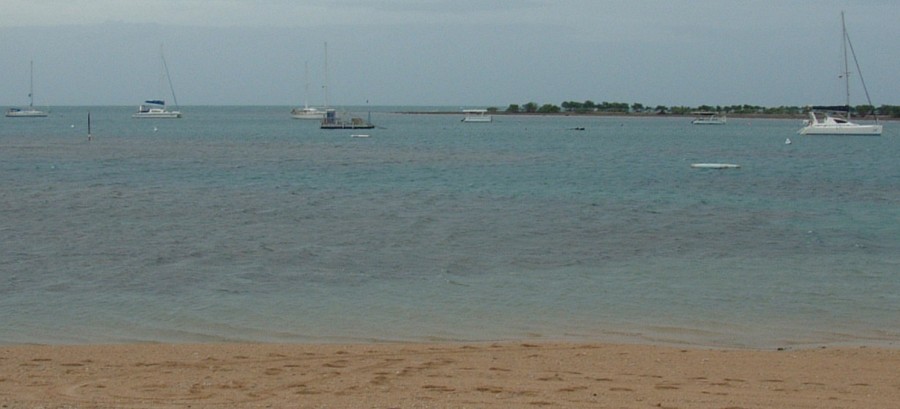
| 15 June | Low Isles | mooring | 37 | 16º22.9 | 145º33.8 | 3 public moorings available | Photo |
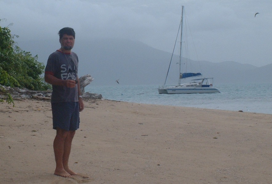
| 16 June | Hope Islands | mooring | 40 | 15º43.7 | 145º27.4 | 2 public moorings available | Photo |
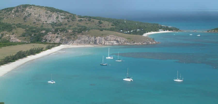
| 17 June | Lizard Island | 8′ sand | 67 | 14º39.8 | 145º27.1 | Very nice | Photo |
| 22 June | Flinders Island | 25′ | 83 | 14º10.6 | 144º13.8 | Fast sail, caught 2 fish, fed fleet | Photo |
| 23 June | Morris Island | 20′ sand | 57 | 13º29.5 | 143º43.3 | Watch for reefs, ships | Photo |
| 24 June | Cape Weymouth | 18′ | 61 | 12º35.6 | 143º25.4 | “I have no memory of this place” | Photo |
| 25 June | Margaret Bay | 10′ sand | 42 | 11º57.6 | 143º12.4 | Lobster fishermen! | Photo |
| 27 June | Escape River | 15′ mud | 71 | 10º58.0 | 142º40.9 | Lots of pearl farms, 13′ min @ LW | Photo |
| 28 June | Seisia | 25′ sand | 36 | 10º50.9 | 142º21.9 | Delightful outpost, shops | Photo |
| 3 July | Marchinbar, Wessels | 20′ sand | 339 | 11º04.5 | 136º43.8 | Beautiful, deserted | Photo |
| 7 July | Malay Bay | 15′ sand | 233 | 11º21.8 | 132º52.9 | Protected | Photo |
| 8 July | Port Essington | 30′ | 57 | 11º08.8 | 132º08.8 | Rolly, Nice ranger station | Photo |
| 9 July | Berkeley Bay | 20′ | 7 | 11º14.0 | 132º11.4 | Better protected | Photo |
| 10 July | Alcaro Bay, Cape Don | 20′ | 36 | 11º17.5 | 131º47.9 | Great river to explore | Photo |
| 11 July | Fannie Bay, Darwin | 22′ | 97 | 12º25.7 | 130º49.4 | Huge tides, marinas, fuel, supplies | Photo |