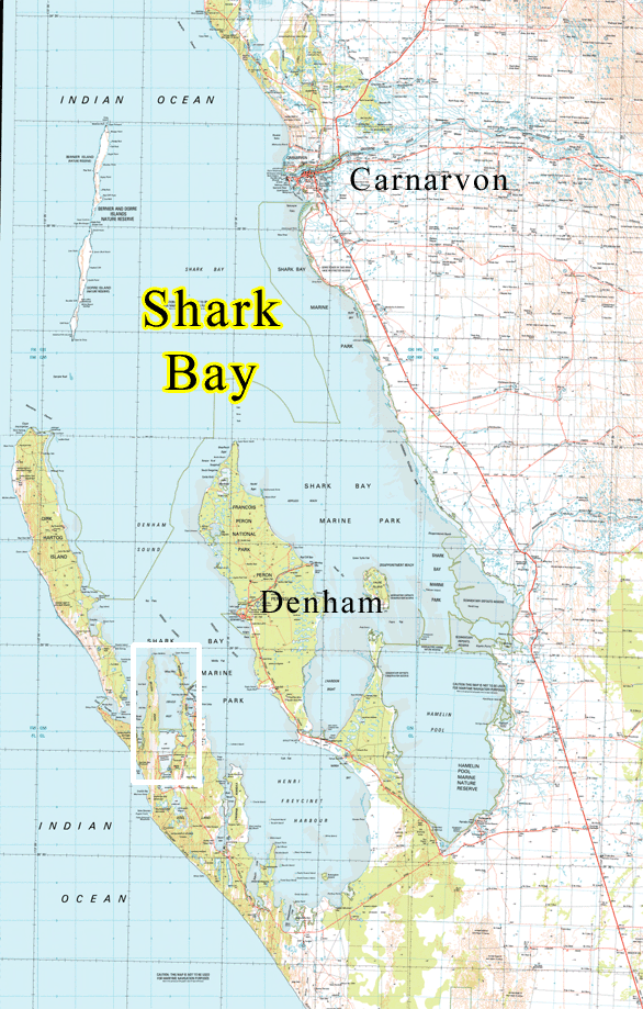
Useless Inlet in Shark Bay WA isn’t really useless if you can navigate the shoals into its large enclosed bay that’s alive with good fishing and quiet hideaways. Mind, fierce southerly winds can join up with a fast outgoing tide to slow your passage down the 12 nm long inlet. Charted as Harve Inutile (Unusable Harbour) by Louis De Freycinet in 1801 due to the shallow sand banks obstructing the entrance, it later became the center of the pearling industry in the 1870s. Beginning in the 1960’s, causeways were constructed across the southern reaches to trap and concentrate saltwater for the solar salt ponds located across the peninsula at Useless Loop.
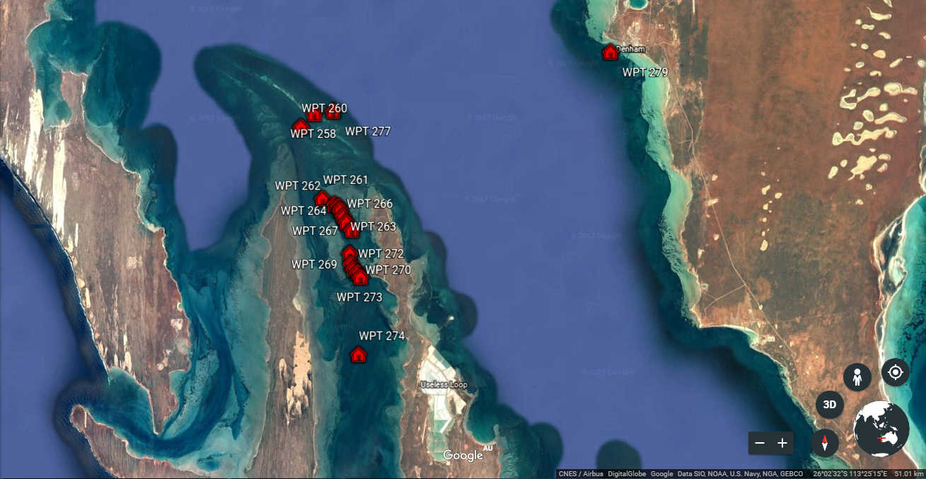
To help you through the sand banks, here are a set of waypoints that will allow keel boats to access this out of the way inlet.
Useless Inlet Shark Bay WA
GPS positions for Useless Inlet
Supplied by Ian and Sharon ‘Sally Cat’.
WPT 275 26º 11.9517´S 113º 22.0350´E
WPT 274 26º 07.1500´S 113º 21.0167´E
WPT 273 26º 04.3333´S 113º 21.1000´E
WPT 272 26º 04.1667´S 113º 20.9833´E
WPT 270 26º 04.0500´S 113º 20.8167´E
WPT 269 26º 03.8500´S 113º 20.7167´E
WPT 268 26º 03.4833´S 113º 20.6667´E
WPT 267 26º 02.6333´S 113º 20.7500´E
WPT 266 26º 02.3500´S 113º 20.5333´E
WPT 265 26º 02.1330´S 113º 20.4000´E
WPT 264 26º 01.9000´S 113º 20.2833´E
WPT 263 26º 01.7666´S 113º 20.2167´E
WPT 262 26º 01.7000´S 113º 20.0500´E
WPT 261 26º 01.4833´S 113º 19.5666´E
WPT 260 25º 58.8833´S 113º 18.7000´E
WPT 258 25º 58.4000´S 113º 19.2333´E
WPT 277 25º 58.3116´S 113º 20.0000´E
WPT 279 25º 56.1667´S 113º 31.2000´E
If the southerlies are setting up the waves, the best quiet anchorages are behind the manmade barrier at the southern end.
For complete anchoring info for Shark Bay, check out “A small boat criusing guide to Shark Bay” by our friend Terry Hinchliffe