Bruny Island and the Huon River on Tasmania’s southeast coast offer some of the best protection and finest anchorages in Tasmania. The climate is drier, there is less kelp and weed, and the d’Entrecasteaux Channel is famous as a boating mecca with sheltered sailing. Add to this the wide protected waters of the scenic Huon River and you have a cruising paradise. A word of warning: The weather can still produce nasty fronts and the more dreaded strong easterlies.
Weather Forecasts:
BOM on VHF; announced on CH16 then provided on CH67, CH68 & CH69
0745, 1345, 1633 & 1903 hrs, 7 days
BOM on HF; simultaneously announced on 2182, 4125 and 6215 kHz
Forecasts then transmitted on 2524, 4146 and 6227 kHz,
0745, 1345 and 1903 hrs daily. And on 2524, 4535 and 4620 kHz at 1633 hrs daily.
All GPS positions are Approximate.
Dover, Port Esperance
1/ Town
43°19.11’S ~ 147°01.15’E
Shelter from all but strong SE in 6 – 10 m mud.
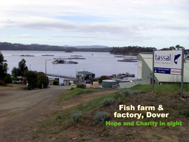
Enter bay either side of Hope Island. East side will avoid the fish farm. If going that way, clear Faith and Charity Islands by 2 cables to east then head for jetty. Anchor anywhere in bay.
Facilities: Water & Fuel available on jetty from Co-op. Supermarket 10 min walk up road.
The Port Esperance Sailing Club has two club moorings available. Also hot shower for cruisers. Contact Gavin Rigby 0418 787 297 or Jeremy Firth on Dover Radio on VHF/HF
Pub on west side of harbour provides dinner. Pleasant town, museum, diners. Lovely anchorage.
2/ Rabbit Island,
43°20.40’S ~ 147°00.66’E
Shelter from all but strong N winds in 5 m mud and sand.
Access to road to Tassal Fish Farm, visits can be arranged.
Good flathead fishing, casting onto sand flats.
3/Stringers Cove,
43°20.64’S ~ 147°02.66’E
Shelter from all but strong N winds in 5 m mud and sand.
Watch out for fish farm ponds and supply boat activity.
Small cove, may need line ashore to trees, or just anchor outside.
The d’Entrecasteaux Channel
The Channel to the locals. Runs between Bruny Island and the Tasmanian mainland providing approx 25 miles of protected waters that narrows to just a little over a mile at Birches Point.
South Bruny Island:
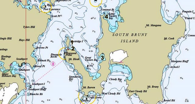
1/ Partridge Island, Great Tailors Bay
43°23.84’S ~ 147°06.38’E
Shelter from SW through W to NW in 6 – 10 m sand off jetty.
Flathead fishing can be good.
2/ Butlers Point
43°24.67’S ~ 147°06.69’E
Shelter from SE through S to SW in 4 – 8 m sand.
Alternative to Partridge if wind more south.
Note: Fish farm in Great Tailors Bay. Follow southern shoreline.
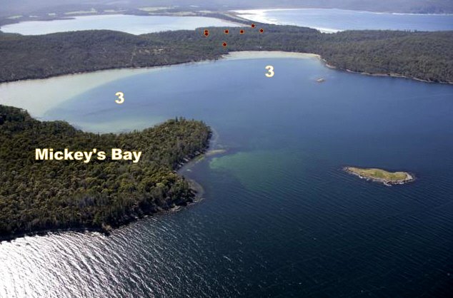
3/ Mickeys Bay
43°25.71’S ~ 147°11.30’E
Shelter from WNW through E to SE in 2 –5 m mud.
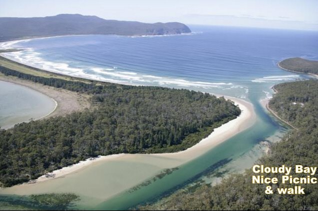
Pretty spot, a few houses. Pack a picnic and walk track found in SE corner to road and then Cloudy Bay.
4/ The Quarries, Little Tailors Bay
43°21.29’S ~ 147°11.29’E
Shelter from S through W to N in 3 –6 m sand.
Pass north around black mark 2 cones up then proceed to anchorage.
Sandstones quarries hidden by scrub onshore, worth a look, supplied Hobart with building material in 1800s
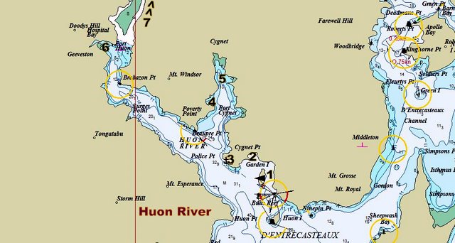
Huon River, navigable for approx 14 miles up river to Franklin.
1/ Garden Island,
43°15.47’S ~ 147°08.30’E
Shelter from WSW through N to SE in 3 –5 m weed and sand.
Houses on shore, coast road accessible, not much else.
2/ Randall’s Bay
43°14.82’S ~ 147°05.64’E
Shelter from W through N to E in 3 –5 m sand.
Houses on shore, coast road accessible. A quiet spot.
3/ Eggs and Bacon Bay,
43°14.83’S ~ 147°05.77’E
Shelter from N through E to SE in 6 –10 m sand.
Green S’bd marker cone up marks foul ground.
Some house in forested bay. Good lunch stop.
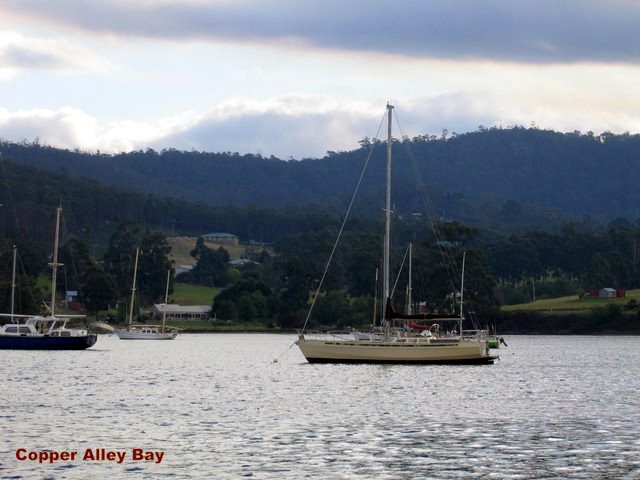
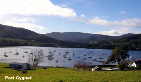
4/ Copper Alley Bay, Port Cygnet
43°12.17’S ~ 147°05.11’E
Shelter from all winds in 8 –10 m mud.
Westerly gales can funnel down into bay.
Beautiful, surrounded by rising hills, filled with moored vessels.
Access road to Cygnet.
5/ Cygnet
43°10.85’S ~ 147°04.64’E
Shelter from all winds in 8 –10 m mud.
Numerous moored vessels. Active sailing club. 20 minute walk to town.
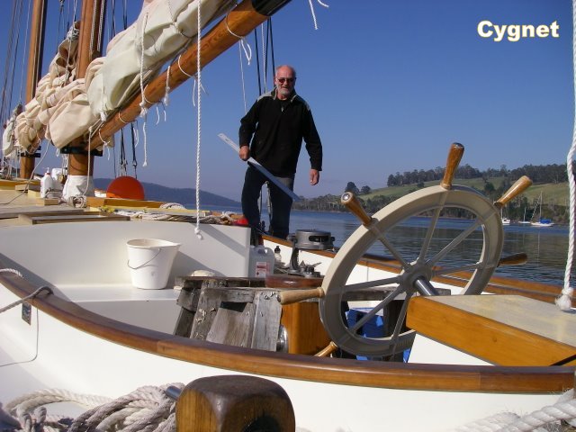
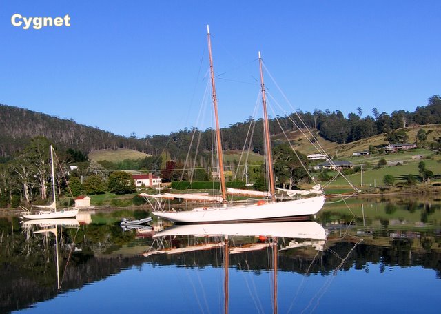
Pop about 900. Historical Cygnet, boat building centre, is a special place that casts a calming spell the moment you arrive.
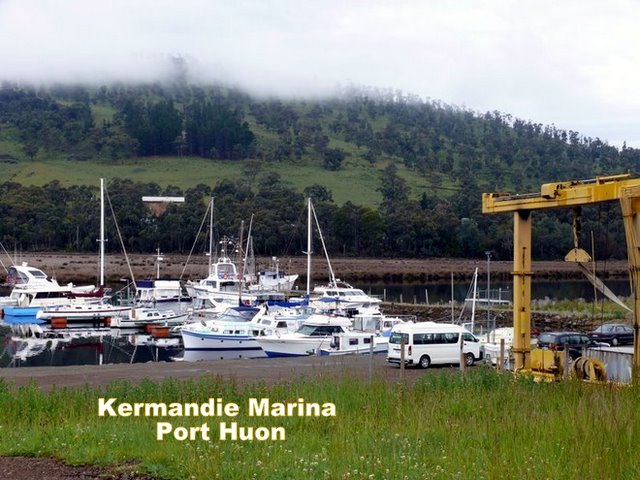
6/ Port Huon,
The Kermandie Marina is a modern, secure 80-berth floating marina found down a narrow channel. Casual rate for 20’ to 50’ $25/day tel (03) 62971052, kermandie@kermandie.com.au
In early 2010, the minimum depth in the entrance channel was still 2m at low tide. The channel is now well delineated with marker buoys.
7/ Franklin Marina, Wooden Boat Centre
Marked channel up the Huon River for at least as far as Franklin and the Wooden Boat Centre. Basic marina there, can anchor off in river. Supplies on shore include groceries and restaurant. All facilities at Huonville short bus or hitch up road. Surrounded by magical forested mountains.
Franklin Wooden Boat Centre manage marina
Main Rd Franklin Ph 03 6266 3586
© 2011 Tujays Publications

