Banyandah – 1979 Spratly Islands
Amateur Radio Expedition
<<<<…………Link to 1978 Mellish Reef DXpedition
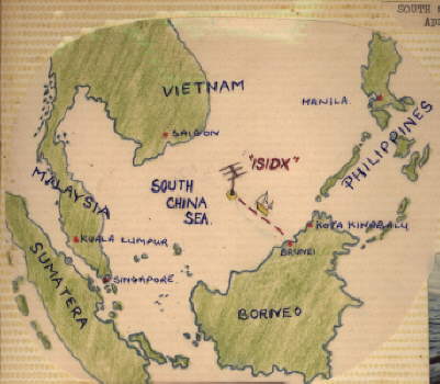 Map of South China Sea showing Spratly Island Group
*
Banyandah departed from Brunei on two DXpeditions
*
The first voyage to Amboyna Cay
North Vietnamese fired mortars at us
*
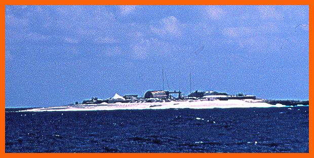
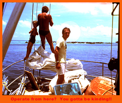
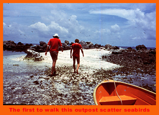
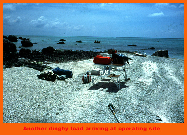
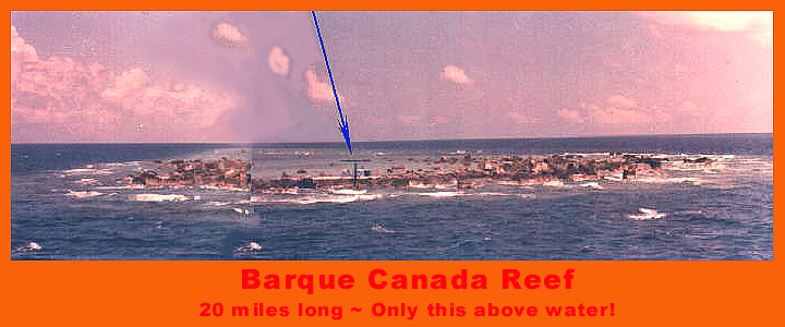
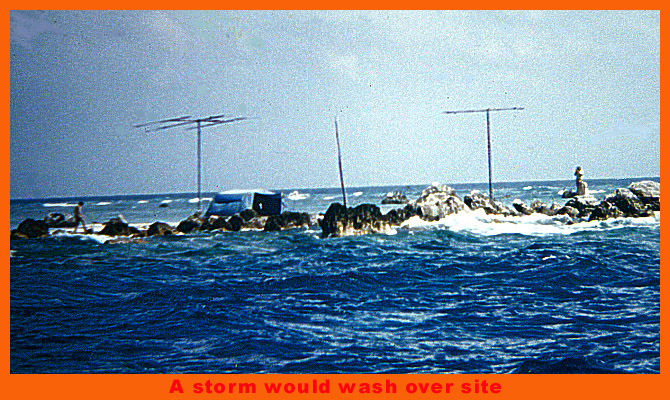
The second voyage to Barque Canada Reef
where we found an un-inhabited rock.
*
TROUBLE! Amboyna Cay, First attempted landing, Mortars Fired at Banyandah!!
*
*
*
*
*
*
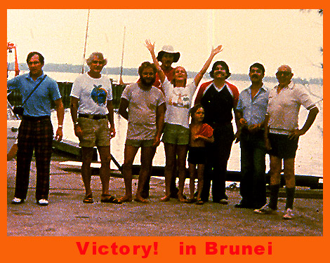
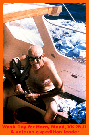
Bill K1MM, Stew K4SMX, John KV4KV, Jack KB7NW, Jude, Jason, Bob N2OO, Moody VS5MS,
& our mate, the orgainiser, Harry VK2BJL
*
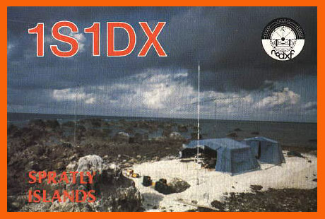
The QSL Card every DXer wants
13,322 Contacts around the world from this patch of sand!
*
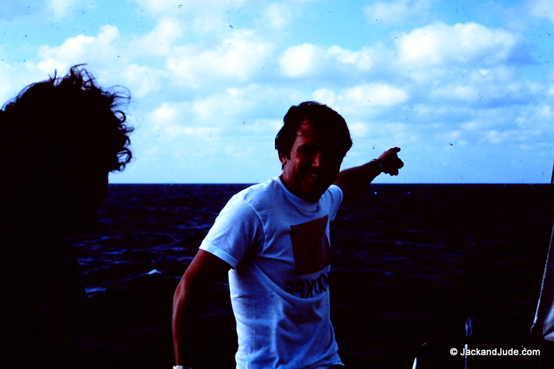
Spratly Islands are that a way
N2OO Bob from the mid-west USA
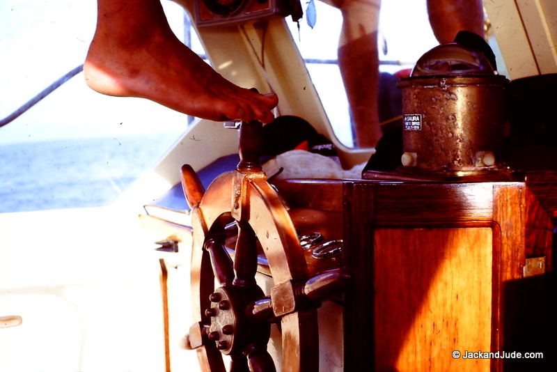
Blissful easy voyage

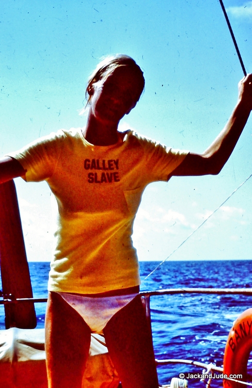
Master’s mate looking gorgeous

The Master, bronzed and black beard
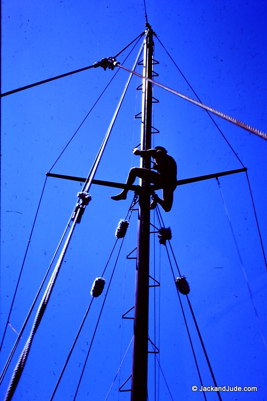
In the crows nest looking for our destination

Calculating our position from Celestial sights
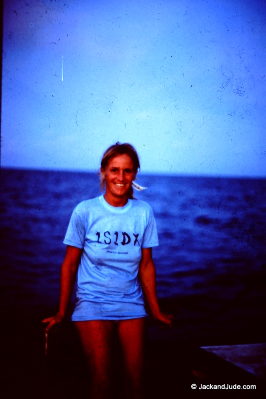
Wow what a beautiful lady

Navigator tackling the tricky business of finding a tiny sand islet in an uncharted sea

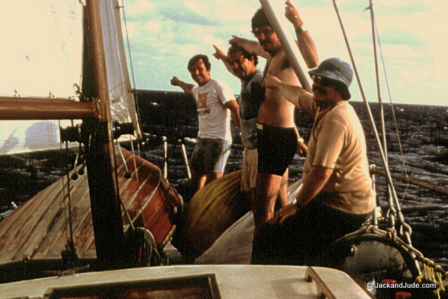
The boys had a ball mucking about on the easy voyage
Kingman Reef DXpedition in South Pacific………..>>>>
Last Update 14 September 2025