On Track Day Walk – Macquarie Harbour TO West Coast Tasmania
For Photos https://jackandjude.com/log/may18/
Youtube Videos: Use Gear to select 720p HD for best viewing
S42.282786 E145.250393
S42.288628 E145.242691
S42.289901 E145.240775
S42.293081 E145.235677
S42.293204 E145.233781
S42.294777 E145.229718
S42.295969 E145.224858
S42.296043 E145.220983
S42.296295 E145.216133
S42.296762 E145.215289
S42.298722 E145.214967
S42.296808 E145.214268
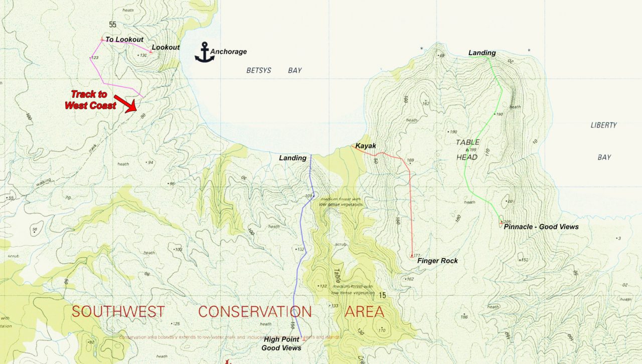
Betsys Bay Off Track Walks –
There are several off-track walks through low vegatation to points of interest and grand views.
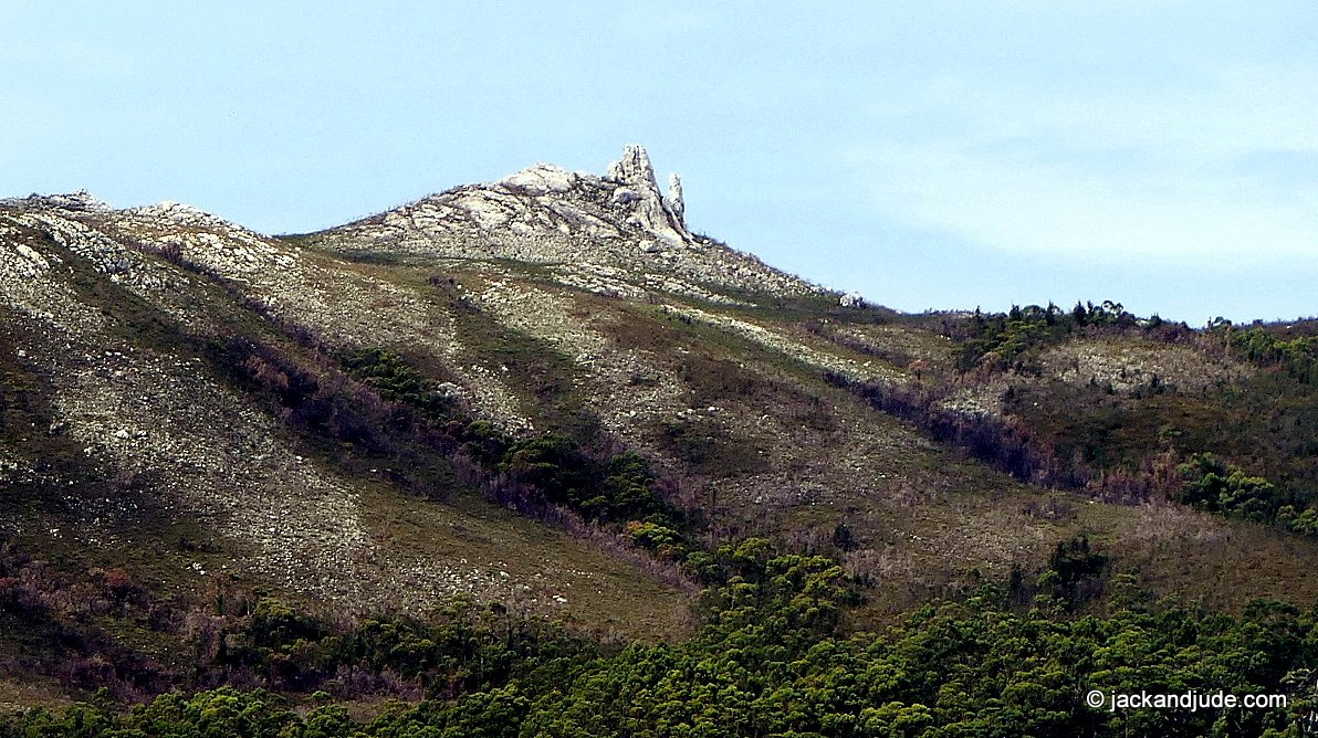
We finally found an easy route to Finger Rock that can be seen from the anchorage. Our first attempt saw us take the wrong side of the creek, which took us on a lovely walk to a high point overlooking a vast forest seperating us from our intended destination.
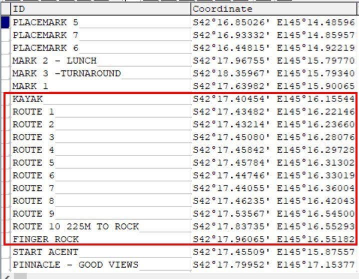
Second time, we landed on the east side of all the little creeks and pushed through a bit of fringe growth to gain the open slopes. And then within an hour’s easy trekking, we came to the impresive rock formation, with 360 degree views taking in Hells Gate, the Southern Ocean, vast button grass plains and a lot of Macquarie Harbour to the mountain ranges. We’ll post our waypoints.

Finger Rock – A destination seen from the anchorage that we have long wanted to reach

Betsys Bay walks – Finger Rock
