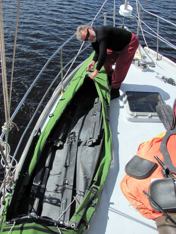
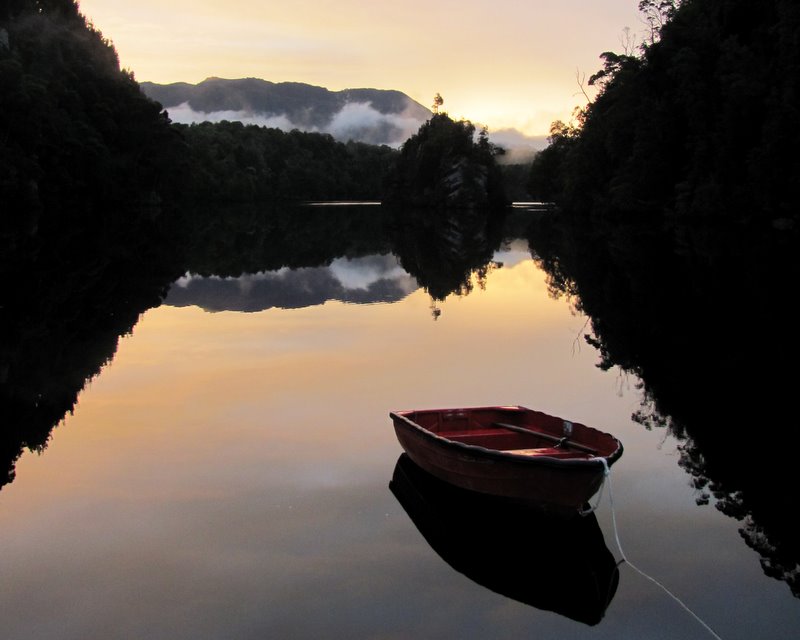
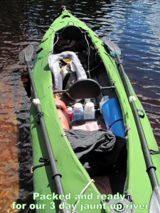
About to loose the last mobile phone tower as we enter the world heritage Gordon River for a week or two of exploring for old Piners Camps. We’re fueled up, cameras charged, and our ex-navy folding kayak, “the Green Machine”, has been patched and fixed up so she floats and steers a straight course. We have old documents on board showing us some of the camp locations so look for our further reports in a week or two. Cheers all from Jack and Jude
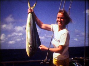
1982 Coral Sea DXpedition
If you are wondering how we paid the bills when we cruised the world, watch this:
http://youtu.be/QPHzCjpU8fY
This was the last of 5 oceanic expeditions we did around the globe between 1978 and ’82.
Mellish Reef is the furthest bit of land owned by Australia (a sand patch actually). Its surrounded by a submerged coral reef with a lagoon blocked from entry by vessels.
Searching for Lost Treasure
In February 2012, Jack and Jude made a two-week journey up the Gordon aboard Banyandah to Sir John Falls, then a further 12 km upstream to the “Rocky” Sprent River in the Green Machine kayak in search of Huon Piners remnants from the early 1900s. Photos Here
Pining in the Gordon River area was carried out between 1816 to the late 1930s. Two or three man teams worked four-month stints, leaving after Christmas, returning to Strahan for Easter, then rowing back up the mighty Gordon River at the start of winter to work in snow and ice harvesting logs ready for the summer thaw that would flood them down river.
Families such as the Abels, Doherty, Cranes and Morrisons had several generations of men working on the banks of the Gordon River and its tributaries harvesting the trees with axe and crosscut saw, and then moving them into the rivers using just block and tackle, and lots of muscle.
It was not always carried out at the same intensity, pining had its peaks and collapse periods, and material evidence of these activities is generally in very poor condition due to the harsh nature of the environment and the fast speed at which the flora regenerates and covers everything, as well as the temporary nature of the original huts and camps.
The only survey conducted was by National Parks in 1987, pre-GPS, with site locations recorded to within 100 metres on a topo-map. Many times we were to find their data in error by considerably more than 100 metres.
Our expedition, privately funded and organized, was to record what still remains today, with an exact GPS location of our findings.
[MORE]
View Exploration of Gordon and Sprent River in a larger map
Journey into the Unknown
Banyandah lies alongside Warners Landing, and by 11:00 we’d packed the Green Machine with our wilderness camp, safety gear, and bush-walking garb, every cranny tightly packed. Then when the bladders were inflated, she looked bloated. And when hoisted on the halyard winch, it groaned and Jude winced when she had to put some serious effort into raising that fat sausage over our railing.
 Amazingly, once in the water, it turned back into a princess, floating high; and even with us in, paddled just as easily. Past the swirling waters around Big Eddy, the current only slowly against us, our arms feeling stronger with no ill effects from our twelve km recon paddle the day before. We made record time back to Pyramid Island.
This time we enjoyed a full hour lunch break on Pyramid before setting off into new territory, with me feeling antsy. Three years earlier, in a dinghy and outboard we’d managed only a few hundred metres past the confluence with the Franklin before a savage set of rapids had turned us back. Rounding the dreaded corner this time, under bright sky and hot sun we found the rapids calm as a millpond, just two or three lumpy rocks mid-stream, the Gordon idle. I need not have worried.
But soon came our first serious hurdle in the shape of a shingle bed with a fast flowing chute down its left side, against a bank jammed with giant logs. Feeling vigorous we counted cadence, stroking hard, then faster to enter the rushing stream, and for moments we rode forward slipping past the shingle bed. But then our delight vanished. A side flow slugged us, our strokes powerless against such a force. In a scary second, a log loomed alongside and we slammed broadside into it. In that instant both Jude and I wondered if we’d flip.
[MORE]
Where few dare go
Next morning as mist burned away from our Gordon River campsite, a Caribbean sky of the loveliest blue was exposed. So, in full bush gear, we set off along the boulder shoulder. I travelled ahead, leaving Jude snapping photos of our camp against the sun struck limestone wall alive with tumbling white water that was glistening in the emerging sun. And in no more than a hundred metres an indentation began forming. Soon after, in a dozen more steps I beheld another river flowing out the hinterland. Oh my! I’m suddenly laughing. Crikey! The much-sought Sprent River had been right next to us all the time! And we had paddled the full journey from Banyandah in one day! Even better, we’d not have to negotiate those rough looking rapids.
 Hearing me laugh, Jude pushed through the bushes hiding our camp, and was soon laughing too. Grinning like kids on Christmas morning, we both shook our heads then set off to reconnoitre the Sprent River mouth.
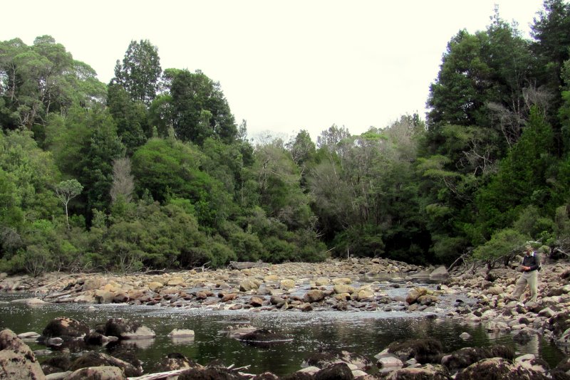
Basketball-sized boulders, spewed out the Sprent by many floods, spread over several footy fields and the river lazily flowed through pools not hugely deep. That meant we could cross, taking great care. Broken bones when so remote would spoil our fun.
We had a 1933 Forestry map showing a hut and stable on the other side close to the river mouth, so we wanted to explore that area. But our Parks documents showed another hut further up the Sprent at the first bend, and we decided to look for it first. Entering its coordinates into our handheld GPS revealed 300 meters upstream would find it, and rather than negotiate the steep, rocky river, we elected to travel in the bush.
Once through the thick fringe, the bush opened into an easy, highly mulched area, not too horrendously encumbered with dreaded horizontal or razor grass. We even found what once could have been a trail and made distance in the lush green surrounds fairly quickly.
[MORE]

